Centro
“Los Austrias”
PalacioCentro413 m1.47 km²
The oldest Madrid, that of the Habsburgs: the Plaza Mayor, the Royal Palace on the site of the old Alcázar, and the Cavas that are now La Latina.
“Chueca”
JusticiaCentro404 m0.74 km²
The Salesas Reales turned into the Palace of Justice, and the square of the musician Federico Chueca that is today the heart of LGBT+ Madrid.
“Conde Duque”
UniversidadCentro375 m0.95 km²
Around the guards' barracks of Conde Duque, today a cultural center: the Madrid of Olivares west of San Bernardo.
Las Cortes
Centro218 m0.59 km²
The Madrid of Congress and the Carrera de San Jerónimo: politicians, newspapers, and cafés between the Puerta del Sol and the Paseo del Prado.
Embajadores
Centro278 m1.04 km²
Embajadores owes its name to an old street and field where tradition holds that some foreign ambassadors took refuge during a medieval plague, fleeing the contagion of the center.
“La Latina”
PalacioCentro413 m1.47 km²
The Cavas and inns of the old medieval moat, today the Madrid of tapas, around the hospital founded by Beatriz Galindo.
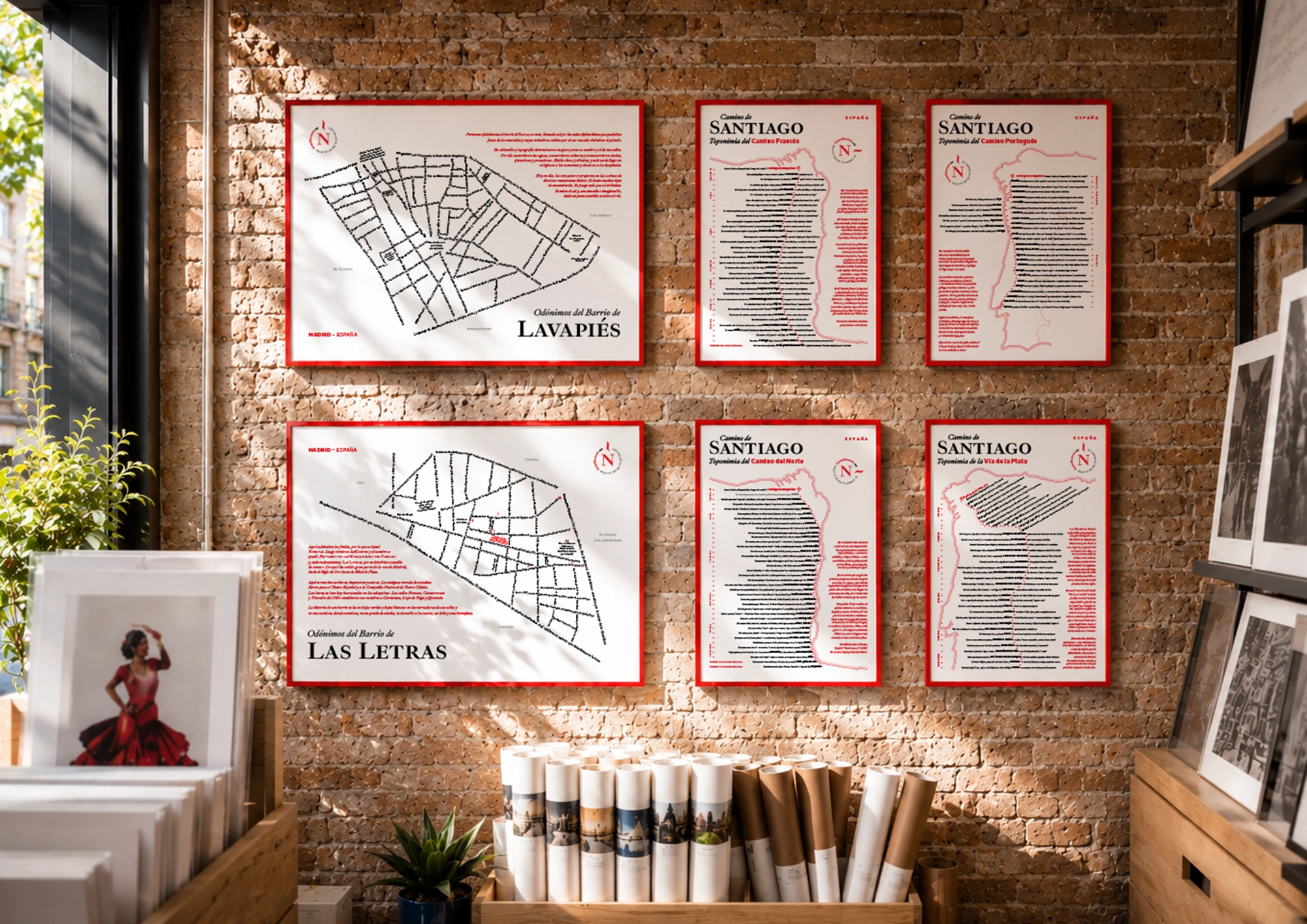
“Lavapiés”
EmbajadoresCentro278 m1.04 km²
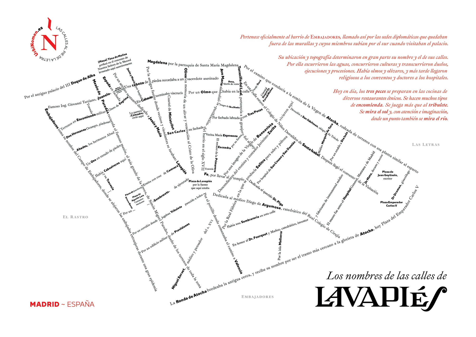
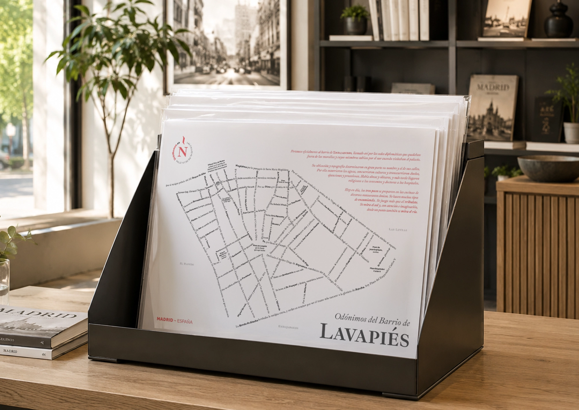
The old-Madrid world of the corralas and the leather of the Rastro flea market: a slum of converts and manolos that is today one of the city’s most diverse quarters.
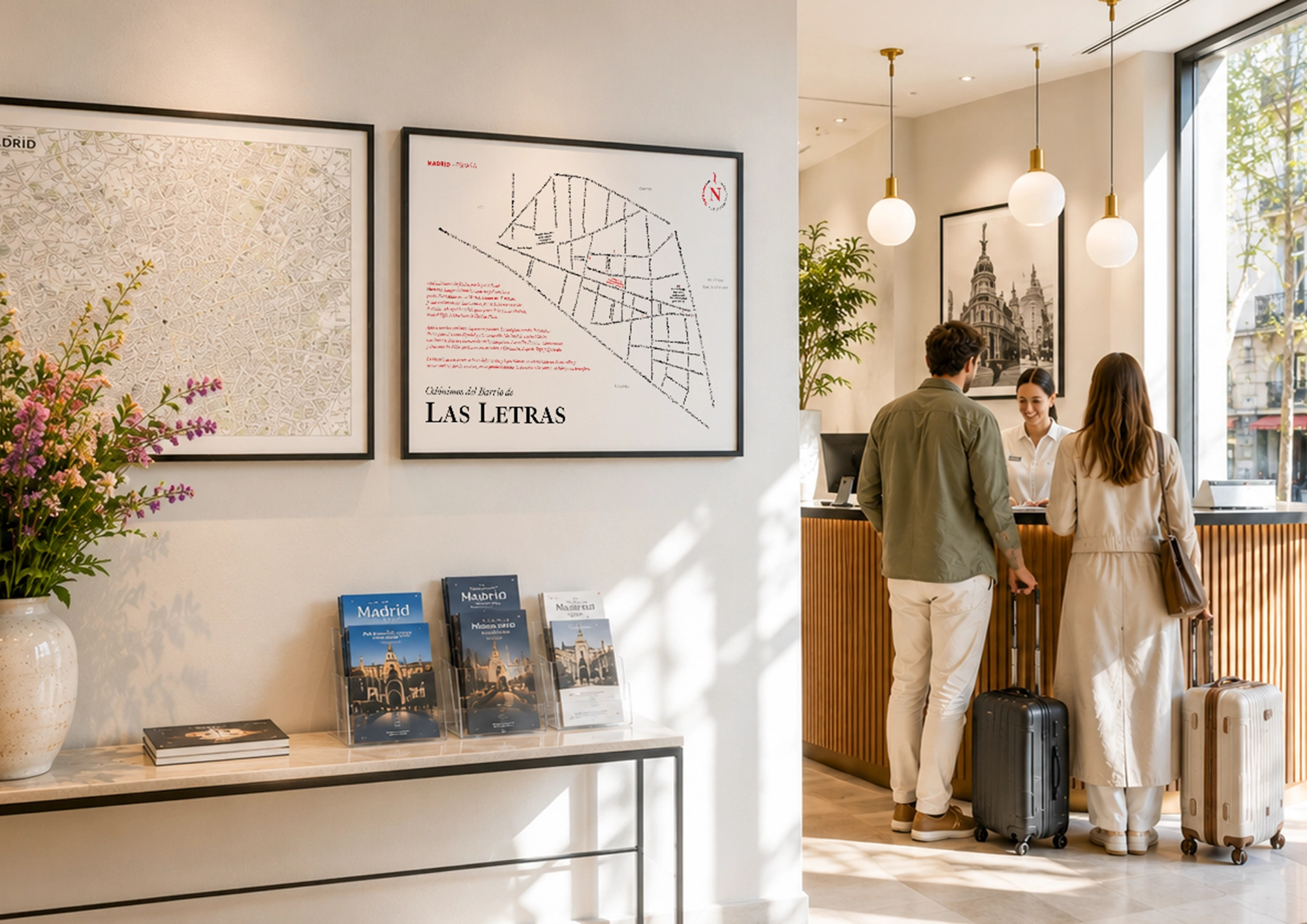
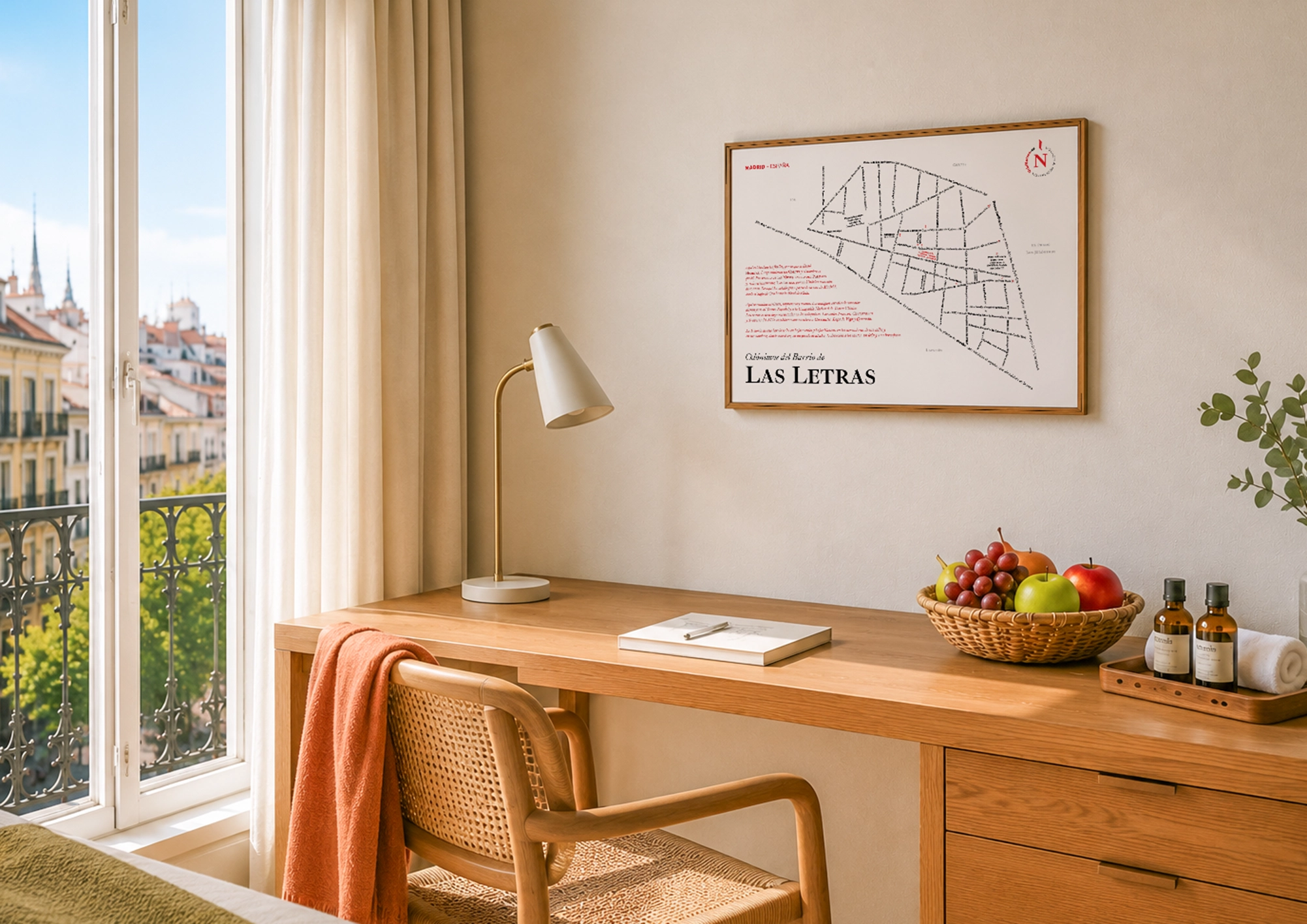
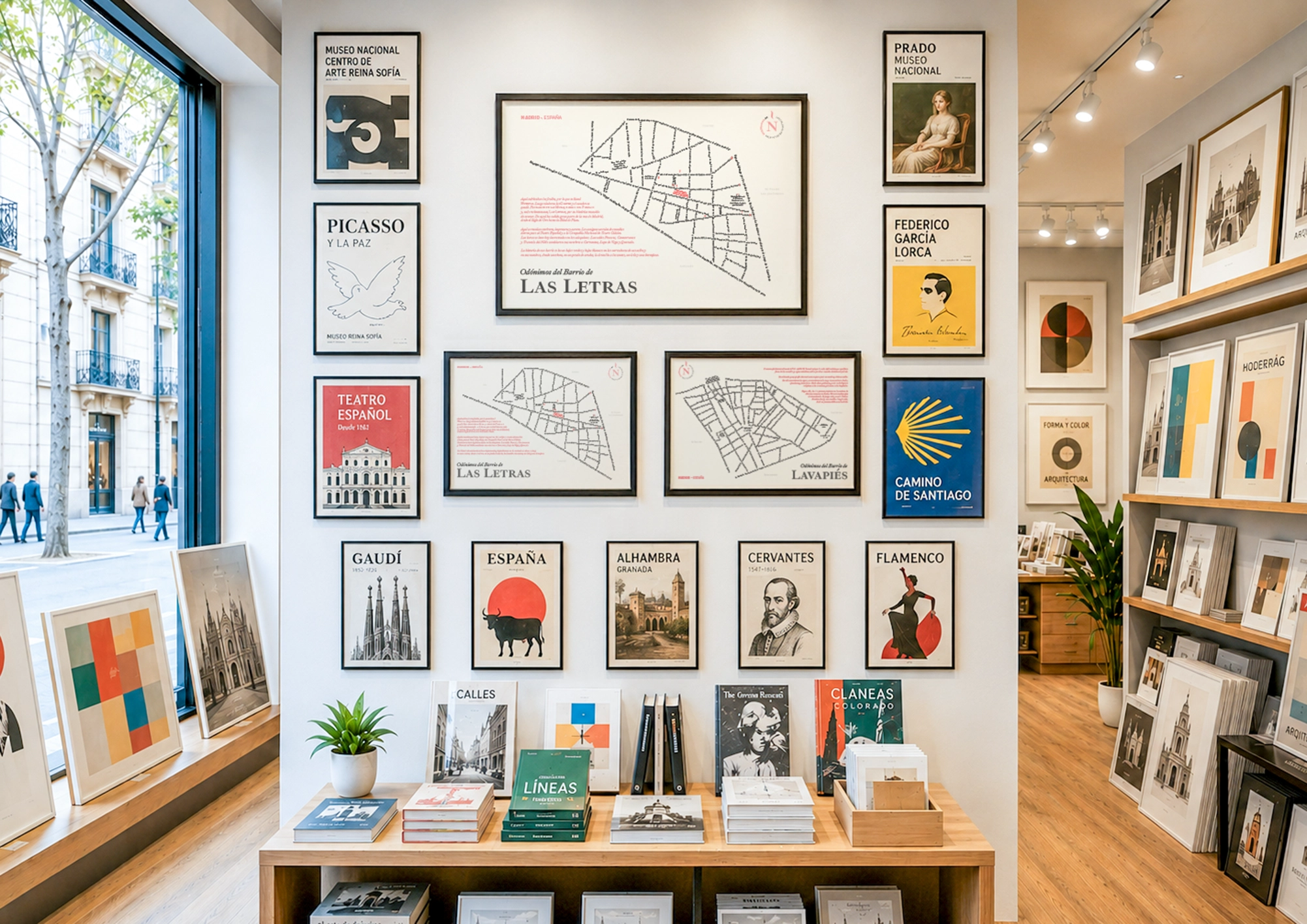
“Barrio de las Letras”
CortesCentro218 m0.59 km²
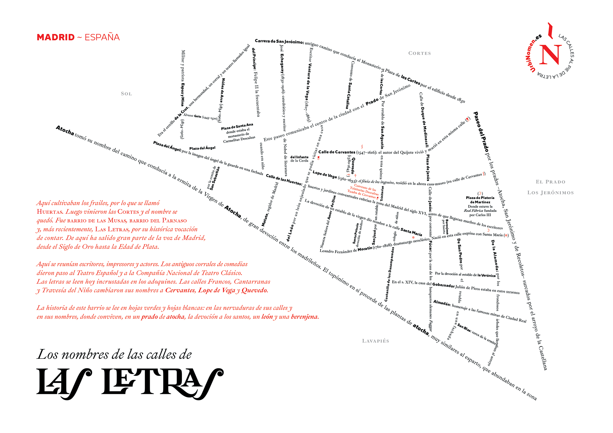
The quarter that best knows how to tell Madrid’s story: the printing house and home of the Golden Age authors, their verses now set into the pavement.
“Malasaña”
UniversidadCentro375 m0.95 km²
The quarter of the Second of May and of the movida: from Las Maravillas to Manuela Malasaña, with the square where Daoíz and Velarde resisted Napoleon in 1808.
“Ópera”
PalacioCentro413 m1.47 km²
The Madrid of the Teatro Real and the Plaza de Oriente, between the Palace and the Puerta del Sol.
“El Rastro”
EmbajadoresCentro278 m1.04 km²
The oldest open-air market in Madrid, on the slope of the Ribera de Curtidores, where the slaughterhouse and the tanneries once stood.
“Las Salesas”
JusticiaCentro404 m0.74 km²
Around the Convent of the Salesas Reales, today the Supreme Court: the stately Madrid of Bárbara de Braganza.
“San Ginés”
SolCentro240 m0.03 km²
The old parish of San Ginés, on the slope of the Arenal, where dawn tastes of chocolate and churros.
“San Martín”
SolCentro300 m0.05 km²
The quarter that grew beside the Benedictine monastery of San Martín, now vanished, in the shadow of the Descalzas Reales.
“Santa Cruz”
SolCentro190 m0.04 km²
Between Sol and the Plaza Mayor, the Plaza de Santa Cruz and its palace, which was the Court’s prison before it was a ministry.
Sol
Centro0 m0.33 km²
The Kilometer Zero, from which Spain’s roads set out, and the heart of the Madrid of the guilds: cutlers and tinsmiths left their trade written into the street names.
Salamanca
Fuente del Berro
Salamanca2990 m0.85 km²
The berro, watercress, is that round-leaved plant that grows only in clean, running water. Where it sprouts, there’s a spring. Here there was one, and so good that the kings sent for its water to drink: the neighborhood takes its name from that fountain and that herb.
Guindalera
Salamanca3169 m1.61 km²
La Guindalera was the orchards of sour cherry trees —the tart-fruited cherries— that covered this eastern outskirt before the houses. A legend runs about a “Don Guindo,” but no paper confirms it.
“Salamanca”
Recoletos · Goya · Lista · CastellanaSalamanca951 m2.94 km²
The neighborhood is not named after the city, but after a man: José de Salamanca, Marquis of Salamanca, the financier from Málaga who from 1860 built this extension of straight streets for the bourgeoisie.
Retiro
Adelfas
Retiro3001 m0.64 km²
Adelfas owes its name to the Calle de las Adelfas, after the pink-flowered shrub that grows along dry riverbeds and streams. The plant’s name traveled from the Greek daphne (laurel) to the Andalusi Arabic al-diflà and from there into Spanish.
Estrella
Retiro2913 m1.03 km²
The name didn’t fall from the sky, even if it looks that way. It’s disputed whether it comes from the insurance company La Estrella, which owned land here, or from the Star of Bethlehem, as an extension of the neighboring Niño Jesús district. Afterward, the streets filled up with heavenly bodies.
Ibiza
Retiro2091 m0.49 km²
The neighborhood is called Ibiza after its main street, and the street after the island. When the Ensanche was laid out here, these eastern streets were given names from the Balearics, and one of them ended up naming the whole neighborhood.
Los Jerónimos
Retiro866 m1.91 km²
Los Jerónimos takes its name from the Monastery of San Jerónimo el Real, the church that still rises above the quarter. It was founded by the Hieronymite friars at the end of the fifteenth century, and beside it the kings later raised the palace of the Buen Retiro.
Niño Jesús
Retiro2211 m0.64 km²
The quarter takes its name from the Hospital del Niño Jesús, the first in Spain for children only, built here in 1877. The dedication on its façade gave its name to the neighbouring train station, to the whole quarter and, since 1953, to the square.
Pacífico
Retiro1688 m0.76 km²
Pacífico looks out on no calm sea: the name comes from a war. The street that once crossed these fields was named del Pacífico after the operations of the Spanish Navy against Chile and Peru, and from the street it passed to the neighborhood.
Chamberí
Almagro
Chamberí1385 m0.94 km²
Almagro takes its name from one of its streets, dedicated to Diego de Almagro, the conquistador who accompanied Pizarro in Peru and ended up executed after fighting over Cuzco.
Arapiles
Chamberí1436 m0.58 km²
Arapiles takes its name from the Calle de Arapiles, which recalls the Battle of Los Arapiles (1812), the Anglo-Spanish victory that opened Wellington’s road to Madrid. Los Arapiles are two hills next to a village in Salamanca.
Gaztambide
Chamberí1640 m0.51 km²
Gaztambide names no old corner: it takes it from Calle de Joaquín Gaztambide, the Navarrese zarzuela composer. And the surname, in Basque, means path of the chestnut trees (gaztaina, chestnut, and bide, path).
Ríos Rosas
Chamberí2429 m0.98 km²
Ríos Rosas speaks of neither waters nor flowers: it is the surname of Antonio de los Ríos Rosas, an orator and politician from Ronda who came to preside over the Congress three times in the nineteenth century.
Trafalgar
Chamberí1347 m0.61 km²
Trafalgar evokes a battle lost off Cádiz, but the name is Arabic: taraf al-gharb, “coast of the west.”
Vallehermoso
Chamberí2436 m1.07 km²
Vallehermoso was, simply, a valle hermoso, a beautiful valley: the hollow of vegetable gardens and olive groves north of Madrid that the locals named after the landscape. The name was popular before it was official.
Chamartín
Castilla
Chamartín5616 m2.17 km²
Castilla bears the name of the kingdom that shaped half of Spain. It is a young neighborhood, built from the fifties onward on what were the fields of the village of Chamartín de la Rosa, to the north of Madrid.
Ciudad Jardín
Chamartín3495 m0.76 km²
Ciudad Jardín takes its name from a way of building: low houses with a garden instead of apartment blocks, an idea that arrived from England and that the old municipality of Chamartín de la Rosa raised here.
Hispanoamérica
Chamartín4087 m1.72 km²
Hispanoamérica is named after its own streets: nearly all of them bear the name of a Latin American country or city. Before it was developed, this was country hamlets northeast of Madrid, one of them las Cuarenta Fanegas.
Nueva España
Chamartín4846 m1.79 km²
Nueva España is so called after the viceroyalty that Spain governed from Mexico: the one that spanned much of the American continent. That is why so many of its streets bear the names of Spanish American republics.
Prosperidad
Chamartín3107 m1.04 km²
La Prosperidad sounds like a promise of a good life, but the name comes from Próspero Soynard, the landowner who in 1862 sold the first plots here. From his given name came the neighborhood’s.
El Viso
Chamartín2606 m1.71 km²
El Viso evokes a height from which one can see into the distance. The neighborhood stands on one of the highest points of Madrid and was formerly called the Altos del Hipódromo.
Arganzuela
Las Acacias
Arganzuela1255 m1.08 km²
Las Acacias takes its name from the Paseo de las Acacias, and that from the acacias that shaded it when it was still a road leading out of Madrid toward the Puente de Toledo.
Atocha
Arganzuela1366 m0.74 km²
Atocha comes from esparto, that tough dryland grass called at-tawcha in Arabic that covered these open lands to the south of Madrid. From that scrub arose the devotion to the Virgin of Atocha, and from her the name of the whole neighborhood.
Chopera
Arganzuela1795 m0.57 km²
La Chopera is named after a chopera, a grove of black poplars that grew beside the Manzanares. Those wooded meadows were the promenade where the town went out to take the air by the river.
Delicias
Arganzuela1795 m1.06 km²
The name comes from no factory and no train, but from a promenade. The paseo de las Delicias was so named because it was a wooded, pleasant spot for walking toward the Manzanares, planted in the days of Ferdinand VI.
Imperial
Arganzuela1159 m0.97 km²
The name comes from the imperial promenades that in the 18th century ran down toward the Manzanares. “Imperial” was never clear: some tie it to the road to Toledo, the “imperial city”; others, to the canal that was meant to be opened on the river.
Legazpi
Arganzuela2892 m1.42 km²
Legazpi, after Miguel López de Legazpi, conquistador and first governor of the Philippines —named Felipinas in 1543, after the future Philip II.
Palos de la Frontera
Arganzuela1265 m0.65 km²
The neighborhood recalls Palos de la Frontera, the Huelva port from which Columbus set sail in 1492. For nearly a century it was called Palos de Moguer, a mistaken name, until Madrid corrected it.
Moncloa-Aravaca
Argüelles
Moncloa-Aravaca952 m0.76 km²
Argüelles bears the name of Agustín Argüelles, the Asturian liberal politician who drafted much of the Constitution of 1812 and whom the Cortes appointed tutor of the young Isabella II. The City Council gave his name to this neighborhood of the Ensanche, built on the high ground beside the Montaña del Príncipe Pío.
Ciudad Universitaria
Moncloa-Aravaca2420 m14.29 km²
Ciudad Universitaria is exactly that: the city of the university. The faculties of Madrid were moved here from 1927 onward, onto some hills in the northwest that until then were the fields of the Moncloa estate.
Tetuán
Almenara
Tetuán5394 m1.00 km²
An almenara was the tower from which fire signals were made to warn of a distant danger, from battlement to battlement. The neighborhood inherited its name from an old Almenara stream and road that came down through this high area in the north of Madrid.
Bellas Vistas
Tetuán3347 m0.72 km²
Bellas Vistas is so called after the Pasaje de Bellas Vistas, a small alley opened on these heights of northern Madrid from which, before the houses went up, the city could be seen in the distance. The name of the passage ended up christening the entire neighborhood.
Berruguete
Tetuán4144 m0.61 km²
Berruguete bears the surname of a line of artists from Paredes de Nava, led by the sculptor Alonso Berruguete, the great figure of the Castilian Renaissance. The neighborhood grew in the old Tetuán de las Victorias, and its main street, that of Berruguete, gave its name to the whole.
Castillejos
Tetuán4458 m0.71 km²
Castillejos recalls a battle. On January 1, 1860, on some hills south of Ceuta, general Prim won the combat of Los Castillejos, and for that he was made Marquis of Castillejos. From that title the neighborhood took its name.
Cuatro Caminos
Tetuán3337 m1.19 km²
Cuatro Caminos is no metaphor: four dirt roads really did cross here when this was the outskirts of Madrid. The Glorieta de Cuatro Caminos keeps the site of that crossing.
Valdeacederas
Tetuán4901 m1.17 km²
Valdeacederas is the “val de acederas,” the valley where acedera (sorrel) grew in abundance, that wild herb of sour leaf that went into salads and to the livestock. Before the houses, this was a hollow of vegetable gardens north of Madrid.